Where our figures come from
Every price, commute time and metro line on the site has a source and a date. Below we explain where we get them, how we process them and what we do not guarantee.
Developer flat prices
- Source
- The dane.gov.pl portal
- Licence
- CC0 1.0 (some datasets may be CC BY 4.0 — in that case we credit the dataset’s author)
- As of
- 04/10/2026 (22 developments with prices from dane.gov.pl)
Since 11 July 2025 developers have been required to publish asking prices of flats as open data (Art. 19b of the Act on the Protection of the Rights of Purchasers of Residential Units or Single-Family Houses and on the Developer Guarantee Fund — ustawa o ochronie praw nabywcy lokalu mieszkalnego lub domu jednorodzinnego oraz o Deweloperskim Funduszu Gwarancyjnym). We download the latest file from each dataset and process it ourselves: median price per m², price range and number of units.
For every price we show the date of the developer’s file and a link to the dataset.
The other developments (16 developments) are shown without a price — it is available on request.
Public transport commute time
- Licence
- ZTM timetable data terms of use
- As of
- estimate from a simplified model
Every commute time on the site is an estimate. We use a simplified model: the distance to the nearest operating M1 or M2 metro station, walking or taking a bus or tram there, 3 minutes of waiting, approx. 2 minutes of metro travel per stop and 4 minutes for a change at Świętokrzyska. The result is rounded to 5 minutes.
The model does not use the ZTM Warszawa timetable (GTFS). Actual times depend on traffic, delays and the time of day.
Metro lines
- Licence
- public information, our own analysis
- As of
- 29/09/2026
Operating lines M1 and M2 are shown with their routes and stations. Sections under construction and in design are shown with a status label and “estimate”. Planned station locations are approximate. We do not give opening dates that have not been announced.
Journey times once a new line opens are our own calculation, not ZTM or Metro Warszawskie data. For lines still in design we give no journey time.
Lines in the site’s data
- M1 operating 21 stations
- M2 operating 18 stations
- M2 · Bemowo – Karolin under construction 3 stations
- M3 · stage I in design 7 stations, approximate locations
Map
- Licence
- data: ODbL 1.0 — © OpenStreetMap contributors
- As of
- base map updated by the provider
Map data and the street network come from OpenStreetMap (© OpenStreetMap contributors, Open Database License). Vector tiles and the base map style are provided by OpenFreeMap using the OpenMapTiles schema. The map is displayed with the MapLibre GL JS library.
Some development locations are approximate — the development’s page says whether the location is exact.
Licences and provider websites
Photos
District photos come from Wikimedia Commons and are shared under free licences. They show the area, not specific developments. We do not use AI-generated images.
-
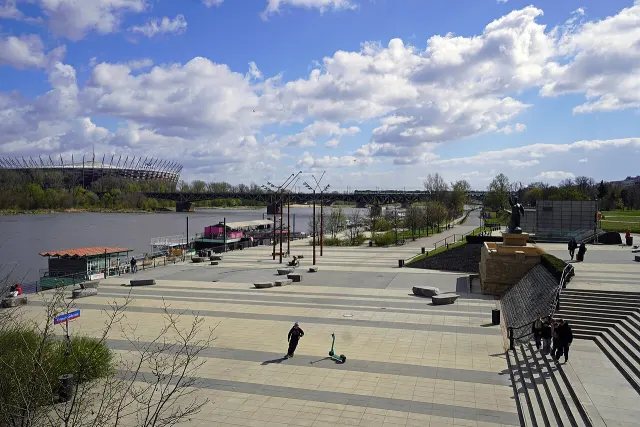
Vistula Boulevards (Bulwary Wiślane) · home page photo: Igor123121 · CC BY 4.0 General George S. Patton Vistula Boulevards, 2026, Warsaw, Poland -
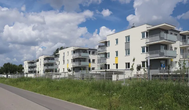
Białołęka Photo of the area photo: Cybularny · CC0 2020 Warszawa Warzelnicza, osiedle -
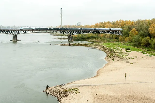
Praga-Południe Photo of the area photo: Dariusz Kowalczyk · CC BY-SA 4.0 Ostrogi Wisła Warszawa 002 -
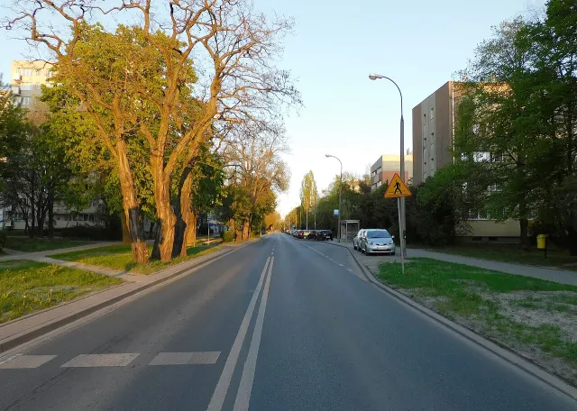
Włochy Photo of the area photo: Panek · CC BY-SA 4.0 Ulica 1 sierpnia warszawa wieczór -
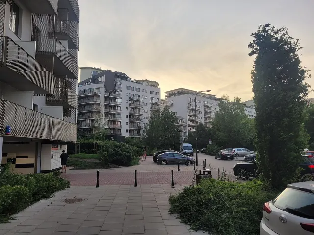
Mokotów Photo of the area photo: Wistula · CC BY-SA 4.0 10 Bukowińska Street in Warsaw -
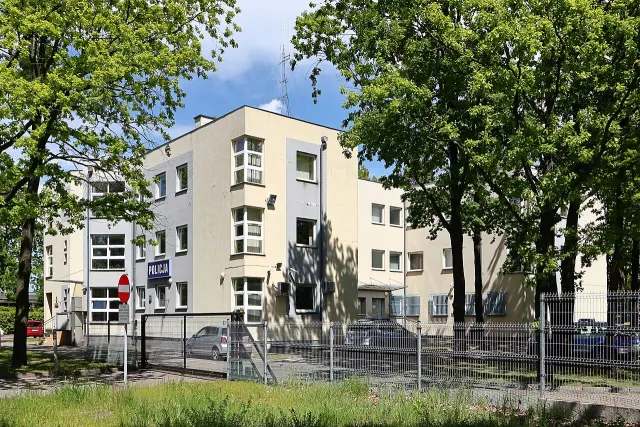
Wawer Photo of the area photo: Cybularny · CC0 2025 Warszawa Komisariat Policji Warszawa-Wawer, 1 -
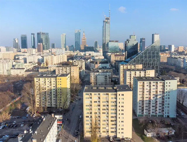
Wola Photo of the area photo: Emptywords · CC BY-SA 4.0 Osiedle Srebrna Warsaw 2021 aerial -
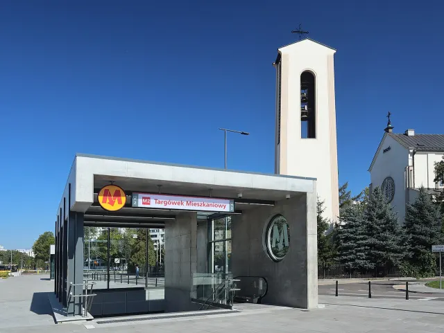
Targówek Photo of the area photo: Cybularny · CC0 2019 Warszawa metro Targówek Mieszkaniowy, 7 -
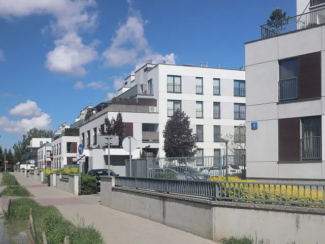
Ursus Photo of the area photo: Cybularny · CC0 2021 Warszawa Konotopska, osiedle -
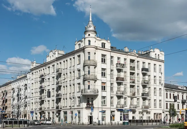
Praga-Północ Photo of the area photo: Adrian Grycuk · CC BY-SA 3.0 pl Kamienica przy ul. Ząbkowskiej 2 w Warszawie 2021 -
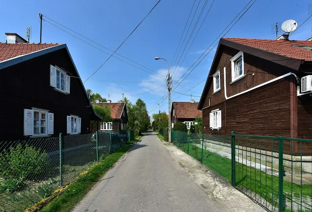
Bemowo Photo of the area photo: Adrian Grycuk · CC BY-SA 3.0 pl Osiedle Przyjaźń w Warszawie 2018f
General principles
- A date next to every figure. For prices we give the date of the developer’s file; for commute times, that they are estimates and from which model; for metro lines, the date of the announcement.
- The developer is responsible for the source data. We process the data; in case of any discrepancy, the developer’s price list and the contract prevail.
- Asking prices, not transaction prices. We do not publish price forecasts or promises of rising value.
- Developers’ materials. We do not copy developers’ renderings, photos, floor plans or descriptions. We write the development descriptions ourselves.
- The order of results does not depend on the agent’s fee.